


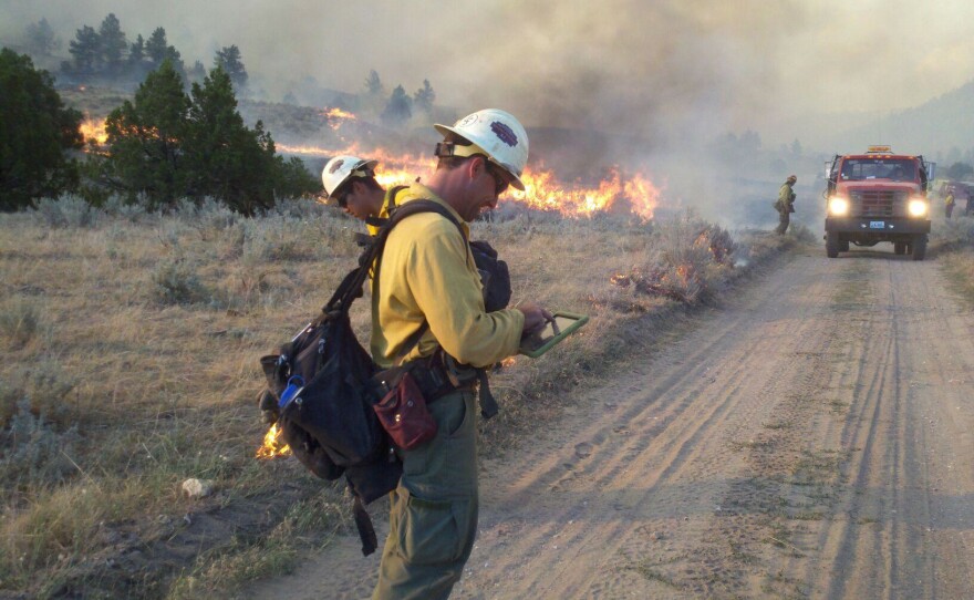

For firefighters, each new blaze presents different challenges. Where to get water... the boundaries between private and public property.. access roads and other details can be crucial to getting control of a fire. To make that easier, the Forest Service and other agencies are building their own Google Earth program.
We live in an era of data--lots and lots of data. And that’s no different for firefighters. But finding a way to use it all... quickly and efficiently... can be a challenge. Sean Triplett is with the National Interagency Fire Center in Boise, Idaho. He says many firefighters have been able to plug that important information into Google Earth, and see it pictured there.
“You can do three dimensional, you can do fly-throughs, you can do what if scenarios by moving the imagery around.”
And it can make explaining the fire easier, too.
“Most of the incident management organizations, and local units use Google Earth as a visualization tool to inform the public of what’s going on, with fire operation, so an example last year when I was on some fires here in Idaho, we use Google Earth to do public community meetings, when we were showing them here’s what our tactics are, here’s what the fires’ currently doing, and here’s what our hope is for our outcome.”
The problem is, Google Earth sometimes doesn’t have all the information firefighters need...
“So you can have an area of snow covered next to an image that you know was taken say in June when there’s leaves on the trees and everything’s greened up. And specifically when we were on fires a couple of years ago outside Santa Fe, where the fire was burning all the images were snow covered.”
And sometimes Google Earth has too much data. That can really slooooow down an internet connection... especially when firefighters are in remote places. So, Sean Triplett and others are building what’s called a new Google Earth globe.
“Loading in other layers of information into there that’s not typically available in the Google Earth free version, such as federal lands, and the ownership of certain areas, and where we have different planning boundaries and different areas of access and trails such as that.”
And it’ll have updated...consistent... pictures of the landscape. So when firefighters arrive at a new blaze, the idea is to make it easier for them to quickly get that information from the new fire Google Earth. They can put it on their smartphones or laptops -- and get right to tackling the fire.
“And that’s our ultimate goal is to improve safety and effectiveness of firefighters.”
The plan is for that new fire globe to be up and running later this summer.

